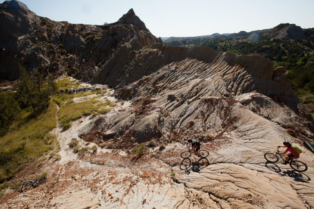
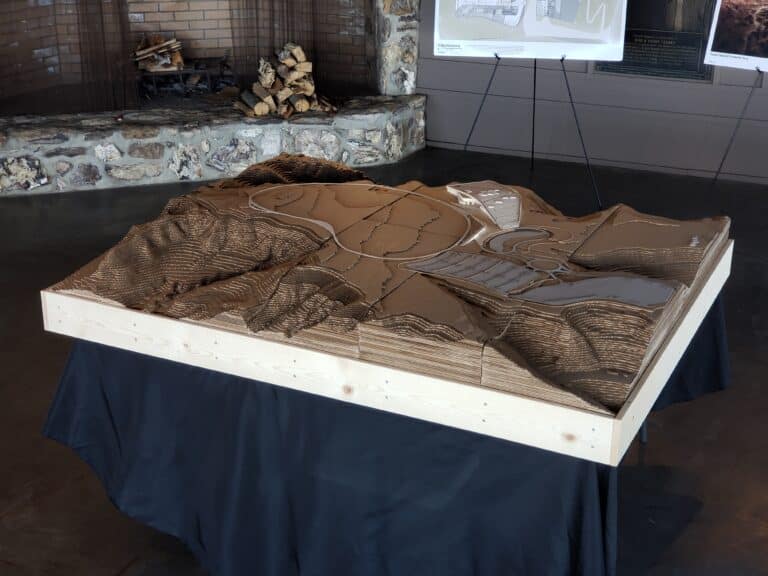
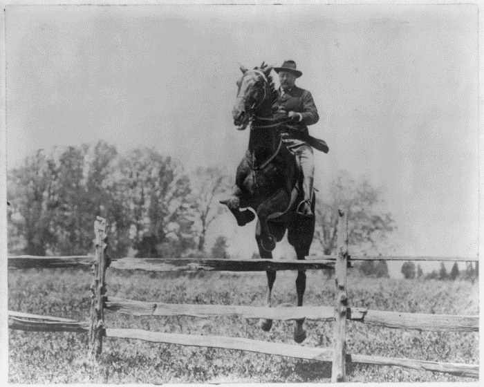
When the Theodore Roosevelt Presidential Library Foundation chose a home site for the upcoming Presidential Library in Medora, ND, they aimed for unparalleled inspiration. Within a postcard setting showcasing 90 acres of Badlands beauty, we’re grateful for its outstanding location that intersects with the popular Maah Daah Hey Trail system.
Whether biking, hiking, or camping along the Maah Daah Hey Trail, visitors experience Western North Dakota’s majestic plateaus, jagged peaks, expanses of rolling prairie, and intertwined riverscapes. Within the 144-mile trail and mother nature’s greatest glory, you’ll find the future site of the Theodore Roosevelt Presidential Library – a perfect immersion into conservation of natural prairie ecology.
Maah Daah Huh?
Did you know the phrase “Maah Daah Hey” originates from the Mandan, ND, Hidatsa Indian tribe? In the Mandan language, a single word or phrase can describe a picture, feeling, or situation. In English, these words represent “an area that will be around for a long time.”
About Maah Daah Hey
The Maah Daah Hey Trail Association is a nonprofit organization that provides and maintains the linear, non-motorized, sustainable, recreational trail system in southwest North Dakota, through voluntary and public involvement, and in cooperation with the USDA Forest Service.
The Maah Daah Hey trail system represents 11 developed campgrounds and nine trail units of varying size and difficulty, featuring nearly every type of terrain found in Western North Dakota. From north to south, they are the Wolf (8.8 miles), Long X (5.8 miles), Summit (3.8 miles), Overlook (0.3 miles), Maah Daah Hey (144 miles), Bennett (3.2 miles), Cottonwood (6.9 miles), Ice Cave (1.5 miles) and, Buffalo Gap (18.9 miles). Check out the website for a full list of campgrounds, and plan accordingly – the campgrounds are 18 or more miles apart!
In the heat of summer, trail explorers will be happy to find eight strategically placed water caches and two places where the trail crosses the Little Missouri River. Knutson Creek, a slow meandering creek most of the year, is also crossed by both the Maah Daah Hey Trail and the Buffalo Gap Trail. Because the bottom of this creek is very muddy, subsurface puncheons have been constructed that will support the weight of trail users. Posts are placed on each side of the banks to mark the path of the crossing.
How to Travel Maah Daah Hey Trail
First, remember that no E-bikes or motorized vehicles are allowed on the majority of the trails, except in designated areas, which you’ll find on the site and interactive map. Hiking, backpacking, and running account for about 70% of the trail’s use, while mountain biking and horseback are the next most popular ways to travel the trail.
Instagram Inspiration
Visitors to Maah Daah Hey Trail will find endless Instagram-worthy moments, between bird watching and nature and wildlife photography. While traversing the trails, you may meet just meet a mule, bison, feral horse, whitetail deer, antelope, prairie dog, or coyote. If you’re really lucky, you’ll spot a golden eagle, red tail hawk, or prairie falcon. Bighorn sheep and elk have also been reintroduced into the area and can often be seen on the north end of the trail near the campground.
While exploring nature, wildlife, and riverscapes, don’t forget to keep your eyes peeled for the site of the upcoming Theodore Roosevelt Presidential Library – opening 2026!
Plan your Trip to TRPL’s Site via the Maah Daah Hey Site: Maah Daah Hey Trail Association – North Dakota’s Best Kept Secret (mdhta.com)
Learn more about the upcoming Theodore Roosevelt Presidential Library: Homepage – Theodore Roosevelt Presidential Library (trlibrary.com)
